What is the Route Napoleon?
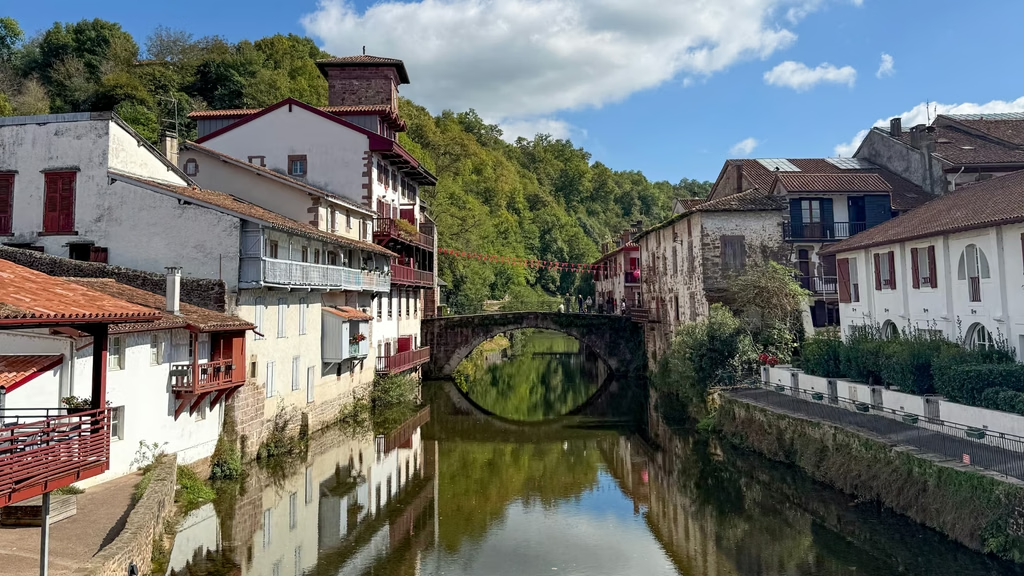
The Route Napoleon is the itinerary that crosses the Pyrenees from Saint-Jean-Pied-de-Port (France) to Roncesvalles (Navarre). It has a length of between 20.5 and 28 kilometres, overcoming a gradient of more than 1,000 metres. It is the first challenge that the pilgrim faces, and it is one of the most memorable stages of the entire pilgrimage.
The name “Route Napoleon” comes from the popular belief that associates it with the passage of Napoleon’s army through this area during the Peninsular War. Some pilgrims call this route “Camino de los Franceses” (Way of the French), in reference to the pilgrims crossing the Pyrenees.
What is the historical origin of the Route Napoleon?
The origin of this route dates back to the Middle Ages, when pilgrims crossed the Pyrenees to reach Compostela. The Ibañeta pass, which is the route followed by this stage, was the most used by medieval pilgrims. The Route Napoleon follows the layout of the ancient Roman road that connected Bordeaux with Astorga, known as the Via Aquitania.
What elevation gain and difficulty does the Route Napoleon have?
The Route Napoleon is considered the most demanding stage of the entire French Way. It has an ascent that accumulates about 1,265 meters of positive elevation gain, which makes it a significant challenge, especially for the inexperienced.
This itinerary passes through the ports of Bentarte and Lepoeder, with unpaved sections and steep slopes. The Pilgrim’s Office of Saint-Jean-Pied-de-Port recommends that pilgrims who are not in good physical condition do not take this route. It is a stage that requires getting up early, carrying water and walking without rushing.
Route, distance and kilometres: where does it start and where does it go?
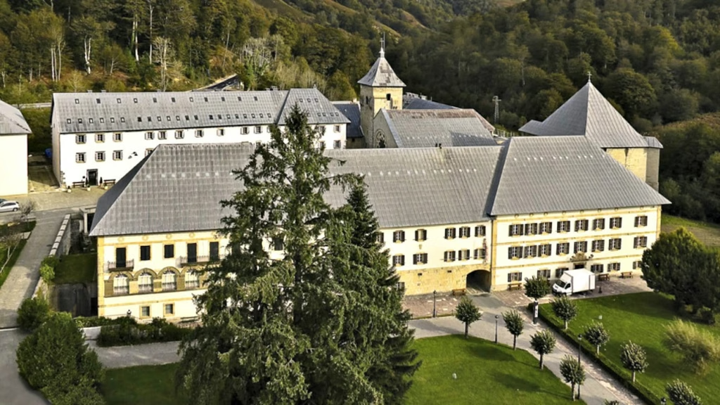
The Route Napoleon begins in the town of Saint-Jean-Pied-de-Port, located at the foot of the Pyrenees, and ends at the Royal Collegiate Church of Roncesvalles, in Navarre.
Stages of the French Way from Saint-Jean-Pied-de-Port to Roncesvalles (including the Valcarlos variant)
- Route Napoleon (via the Cisa/Ibañeta pass): 26-28 km, elevation gain +1,250 m. Crosses the Bentarte and Lepoeder passes. Closed in winter.
- Valcarlos variant (via the valley): 28 km, elevation gain +900 m. Runs along the road, safer and recommended for bad weather or beginners.
The winter closure of the Route Napoleon
The Route Napoleon remains closed from November 1 to March 31. In these months, the weather conditions on the mountain passes are extreme, with snow, ice and strong winds that make the route more dangerous.
In winter, pilgrims must use the Valcarlos variant, which runs along the road and at a lower altitude. Failure to comply with this closure is penalised with a fine, and the Guardia Civil frequently carries out rescues of pilgrims who attempt to cross the route in adverse conditions.
What to see on the Route Napoleon?
The Napoleonic Route contains emblematic places that are part of the historical and landscape memory of the Way.
- The Orisson hostel: This hostel is a mandatory stop for most pilgrims. It is located in the middle of the ascent, providing a rest before facing the hardest part of the climb. Many pilgrims spend the night here to split the stage.
- The Thibaut Cross: Known as the Pilgrims’ Cross, it is a landmark that marks the highest point of the route. From this place, the views of the Pyrenees and the French valley are spectacular.
- The Lepoeder Pass: This area is the mountain pass that marks the entrance to Spain. At 1,450 m altitude, it is the highest point of the Route Napoleon. It is also the place where the Route Napoleon and the Valcarlos variant meet again before descending to Roncesvalles.
- The arrival at Roncesvalles: Roncesvalles is one of the most emblematic places on the Way. The Royal Collegiate Church of Santa María, with its Gothic church, its cloister and its famous hostel, is the meeting point for thousands of pilgrims.