What is the Sea of Arousa and Ulla River Route?
The Sea of Arousa and Ulla River Route is an official Jacobean itinerary, carried out aboard boats. The aim is to cross the waters of the Arousa Estuary, starting from the ports at the entrance of the estuary (such as Ribeira or Sanxenxo) and sailing from port to port until reaching the mouth of the Ulla River, then going upriver to Pontecesures and Padrón.
This route grants pilgrims the “La Traslatio” diploma. Pilgrims must sail for at least a few hours and obtain stamps from a minimum of two different ports along the estuary before disembarking in Padrón to complete the final overland stretch to Santiago de Compostela.
What is the historical origin of the Sea of Arousa and Ulla River Route?
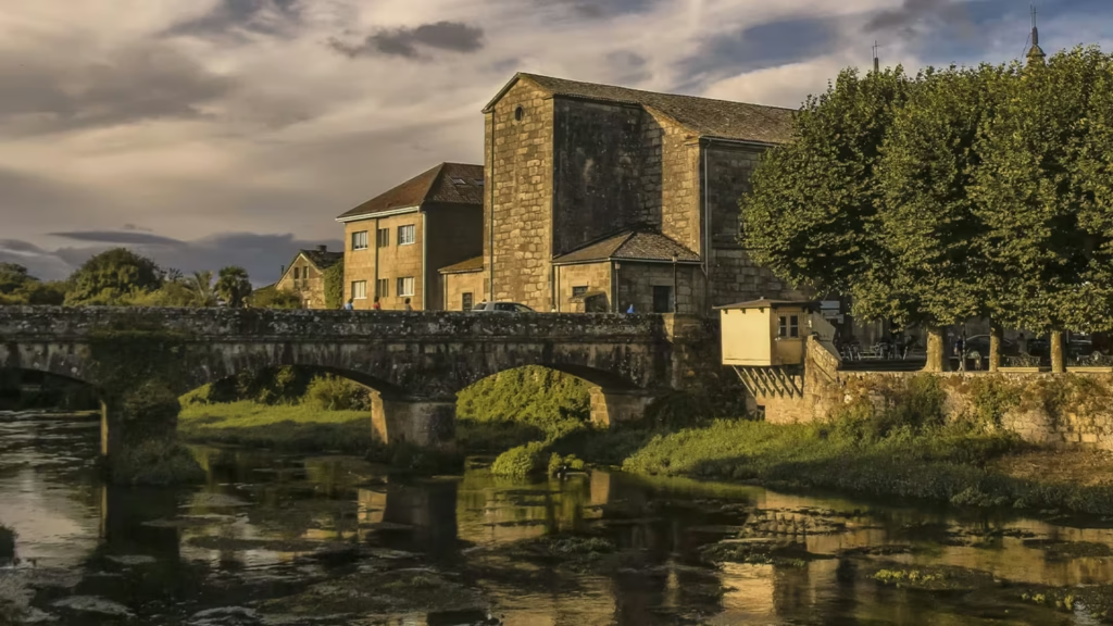
The starting point of this route is the “kilometer zero” of all pilgrimages. This Way recreates “La Traslatio,” the journey that transported the remains of the Apostle James the Greater from Palestine to Galicia in the year 44 A.D.
According to tradition, the Apostle’s disciples, Theodore and Athanasius, stole his body and transported it in a stone boat with neither rudder nor sails. Guided by angels and the stars, the boat traveled across the Mediterranean until entering the Arousa Estuary. Finally, it sailed up the Ulla River until docking at the Roman port of Iria Flavia (Padrón), where the body was disembarked for burial.
The Jacobean Foundation of the Sea of Arousa and Ulla established this route in 1965 to recover the memory of that first and miraculous journey.
Route, Distances, and Kilometers: Where Does It Start and Where Does It Go?
On this maritime route, unlike the overland stages, the itinerary is measured in nautical miles and depends on the ports where the vessel makes stopovers. To organize this route, the sea and land portions are divided into the following sailing and walking stages:
- Stage 1: The entrance to the estuary (Sanxenxo / Ribeira – O Grove / San Vicente do Mar). The start of the maritime route. Approximately 12–15 nautical miles crossing the mouth of the Arousa Estuary, leaving the open sea behind.
- Stage 2: The heart of Arousa (O Grove – Cambados – Vilanova de Arousa). Approximately 10 nautical miles. Pure sailing among mussel rafts, docking in Vilanova, a prominent port of the estuary.
- Stage 3: The river ascent (Vilanova de Arousa – Vilagarcía – Catoira – Pontecesures). You will cover approximately 14 nautical miles. On this stage, the estuary narrows, the water turns fresh, and the boats sail up the course of the Ulla River until reaching the quay of Pontecesures and Padrón.
- Stage 4: The final overland stretch (Padrón – Santiago de Compostela) (25 kilometers). After disembarking, pilgrims face the last land section before reaching the Obradoiro Square, sharing the route with the Portuguese Way.
What are the infrastructures and hostels like on the Sea of Arousa and Ulla River Route?
The Sea of Arousa and Ulla River Route involves a logistics system that combines sea and land. You will find marinas all along the estuary to stamp your credential. If you are sailing on your own boat, towns such as Vilanova have shipping companies that offer regular routes to sail up the Ulla River.
During the maritime stages, rest is taken on the boat itself or in guesthouses in the seaside towns, allowing you to sample the local gastronomy. After disembarking in Padrón, you will fully integrate into the traditional Jacobean network, with both services and infrastructure available to you.
Places and monuments along the Sea of Arousa and Ulla River Route
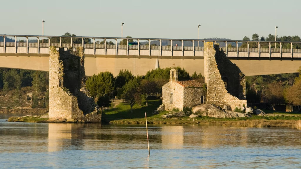
Embarking on this journey means enjoying a unique heritage. The perspective gained from the boat provides one of the most visually outstanding routes. During the sailing, you will come across different historical landmarks:
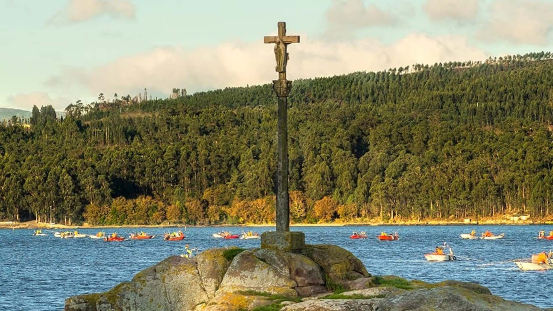
- The Maritime-Fluvial Via Crucis: It is the only collection of cruceiros (stone crosses) in the world located on water. They are 17 stone crosses placed on islets, rocks, and riverbanks along the Ulla River, marking the way for the boats just as the Apostle did.
- Cortegada Island: Located off the coast of Carril (Vilagarcía). It belongs to the Atlantic Islands National Park, and you will sail past it just before entering the mouth of the Ulla River. It contains the largest laurel forest in Europe.
- The Torres de Oeste (Catoira): An 11th-century fortress that served as the “Shield of Compostela.” The castle held off Viking and Saracen fleets that attempted to plunder the Apostle’s tomb.
- El Pedrón (Padrón): Beneath the altar of the Church of Santiago in Padrón, you can touch the original Roman stone altar where, according to tradition, the disciples moored the stone boat upon disembarking.
- Sanctuary of A Escravitude: A Baroque temple located along the overland route, a mandatory stop to collect water from its miraculous fountain.