What are the historical maps of the Camino de Santiago?
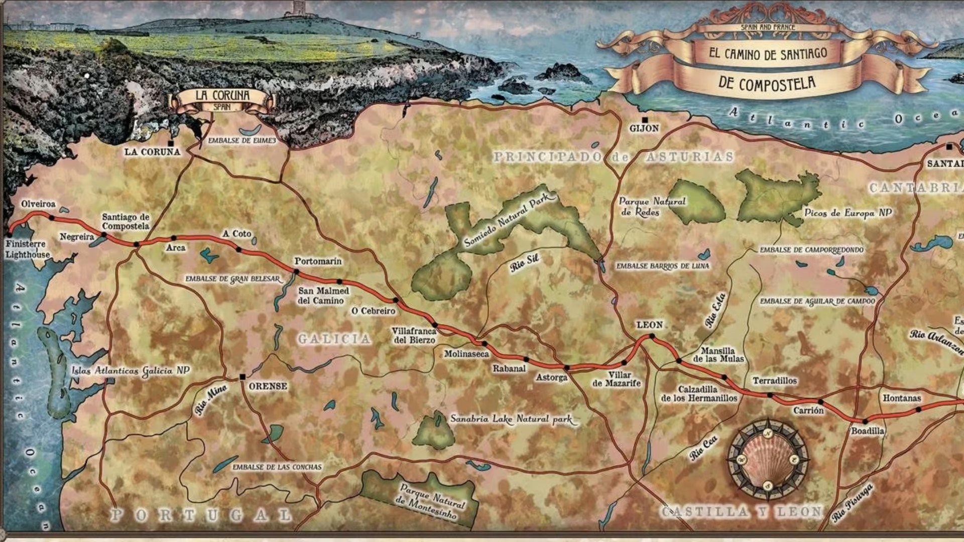
The historical maps of the Camino de Santiago are cartographic representations, made over the centuries, that show the different pilgrimage routes to Compostela. They are not ordinary maps; in many cases, they combine geography with religious symbolism, fantasy and devotion. The value of these maps is twofold:
- They document the evolution of the routes and the paths.
- They reflect the perception that each era had of the Camino.
We can find different historical Jacobean maps.
- Itineraries are lists of stages and distances (Codex Calixtinus).
- Portolan charts, of Mediterranean origin, represent the coasts and ports that pilgrims used to reach the Iberian Peninsula.
- Pilgrimage maps, more elaborate, combine geography with illustrations of saints, churches and Jacobean symbols.
The first maps of the Camino de Santiago in the Middle Ages
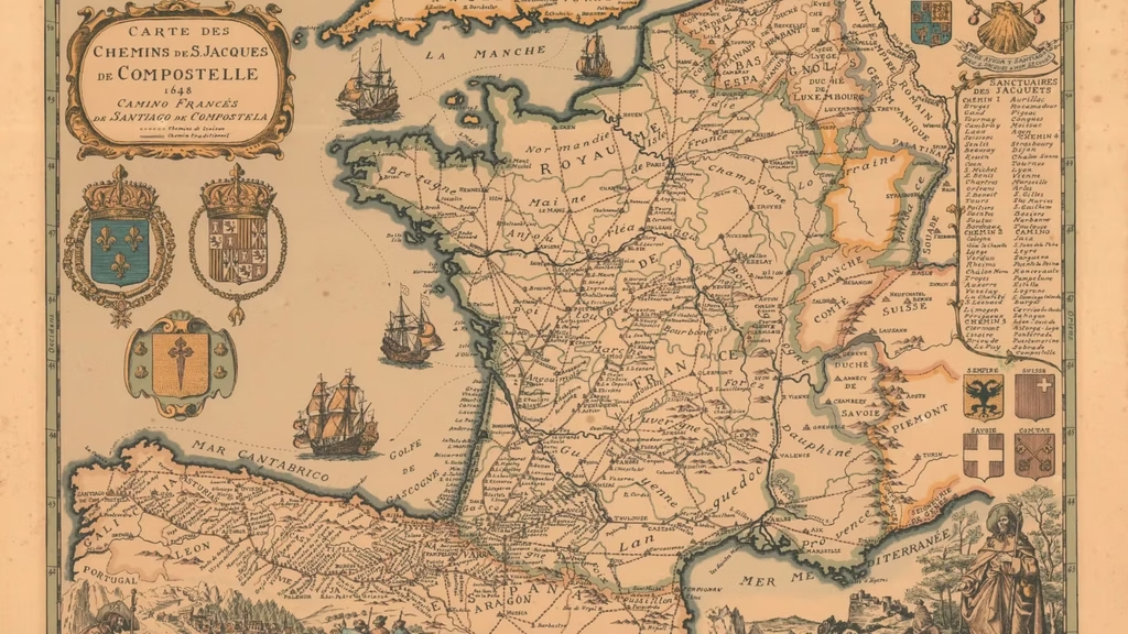
The Middle Ages was the era when the Camino de Santiago was created as we know it today. The maps from this period are scarce and more symbolic than geographical. These are the most notable ones:
- The Beatus of Liébana map (8th century): Although it is not a specific map of the Camino de Santiago, this map of the world includes a representation of Santiago; it is one of the first documents to place Compostela on a map.
- The maps of the Calixtine codices (12th century): The Codex Calixtinus includes detailed descriptions of the routes. Its itineraries were the basis of later Jacobean cartography.
- Medieval pilgrimage maps: Maps appeared in the 14th and 15th centuries representing the European routes to Santiago, with special attention to the paths that converged on the Camino Francés.
The cartography of the Camino de Santiago in the 16th and 17th centuries
In the 16th and 17th centuries, cartography underwent a revolution thanks to technical advances and the printing press. Maps became more precise and accessible to everyone:
- The map of Abraham Ortelius (1570): This cartographer included in his “Theatrum Orbis Terrarum” a map of Spain that included the main pilgrimage routes to Compostela.
- The maps of the Low Countries: In the 16th and 17th centuries, Dutch cartographers created detailed maps of the Iberian Peninsula that included Santiago and the pilgrimage routes.
- Baroque pilgrimage maps: In this period, decorative maps appeared, with illustrations of saints and biblical scenes, which served to guide the faithful.
The historical maps of the Camino de Santiago in the 18th and 19th centuries
During the 18th and 19th centuries, maps of the Camino de Santiago became more precise and detailed, and began to include practical information for travellers:
- The maps of Tomás López (18th century): The Spanish geographer developed detailed maps of the Spanish provinces, including the pilgrimage routes and the main Jacobean centres.
- Military cartography (19th century): Military maps included the pilgrimage routes as strategic roads, which helped in their conservation and documentation.
- The first tourist maps: At the end of the 19th century, the first guides and maps of the Camino de Santiago appeared, aimed at everyone and with practical information.
Historical maps of the Camino de Santiago in the 20th century
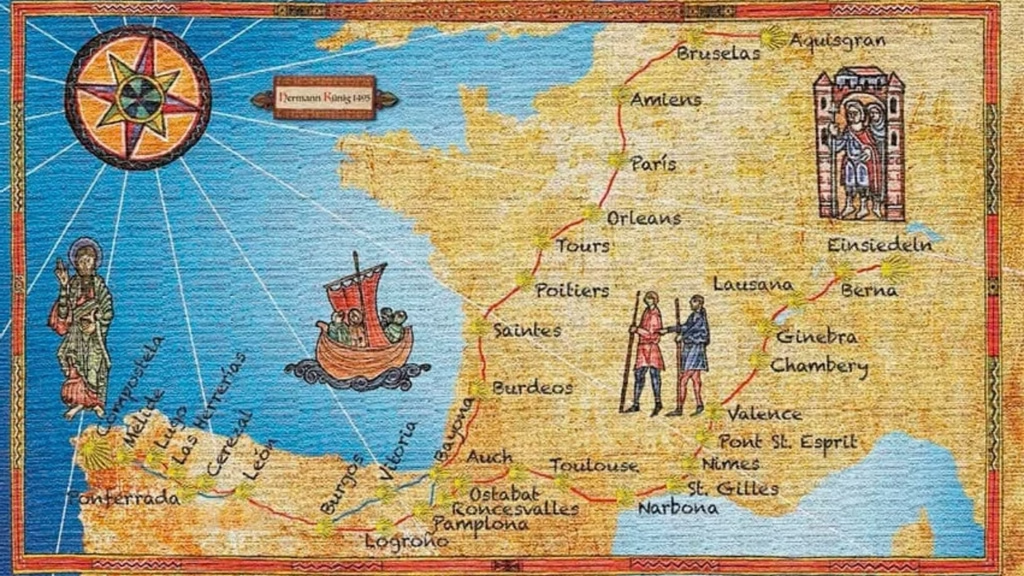
En el siglo XX surgió una recuperación del Camino de Santiago. Los mapas de esta época reflejan esa nueva masificación.
- Post-war maps: In the 1940s and 1950s, the first modern maps and guides to the Camino de Santiago appeared.
- The Cartography of Elías Valiña: The priest produced maps and guides that contributed to the recovery of the Camino Francés in the 1980s.
- The maps of the Associations of Friends of the Camino: The associations published detailed maps and guides that became essential tools for pilgrims.
Where to consult the historical maps of the Camino de Santiago
The National Library of Spain
The National Library of Spain preserves and keeps a collection of historical maps, among which there are several of the Camino de Santiago. Many of these maps are now digitised and can be consulted online through the Hispanic Digital Library.
The Archive of the Cathedral of Santiago
The Archive of the Cathedral of Santiago holds historical documents related to pilgrimage: maps and plans of the city and of the Jacobean routes. It is an essential resource for researchers.